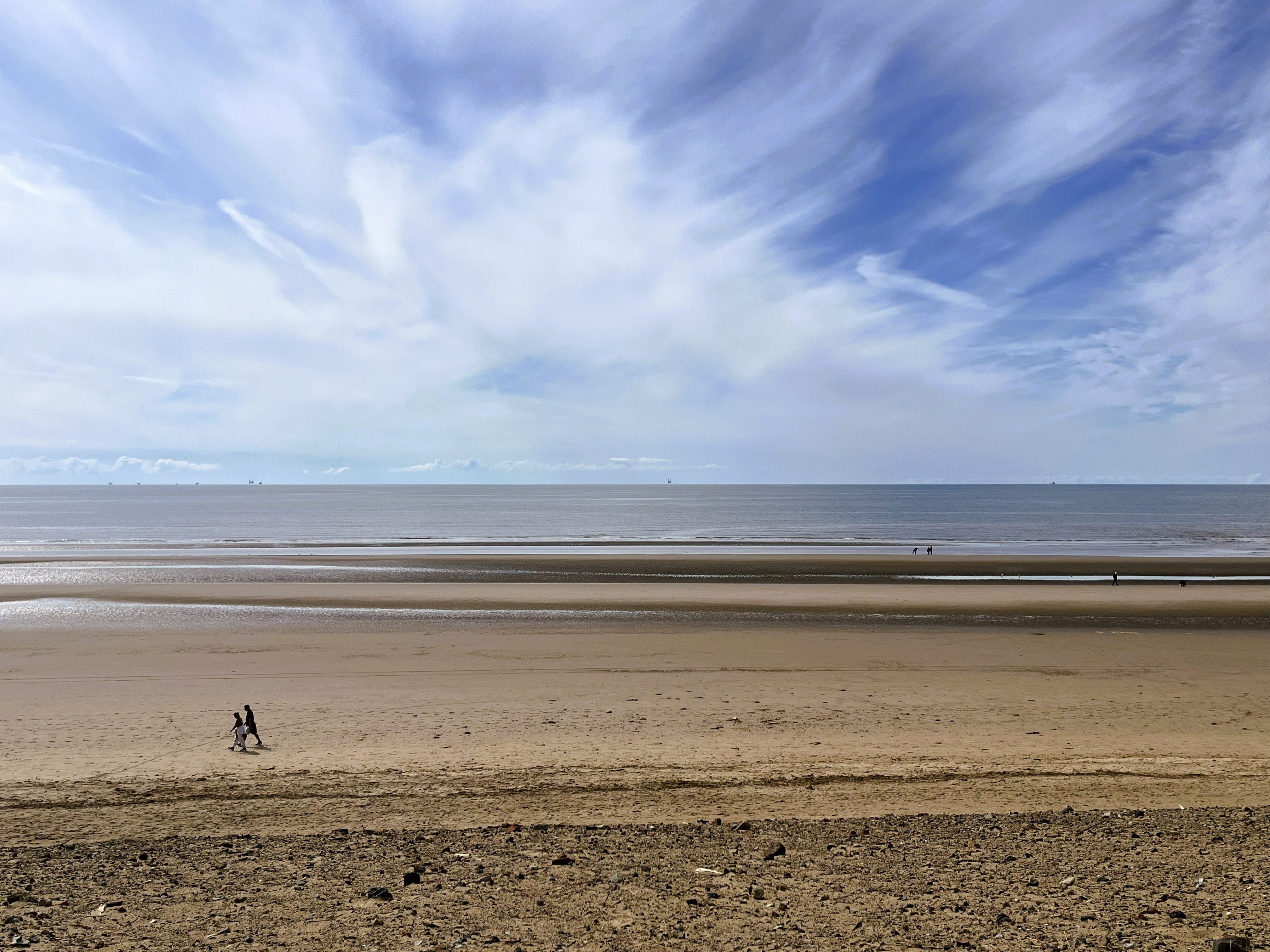
Before I start this post, I should disclose that I lived in S.E. Asia for almost 20 years, and I am a big fan of hot weather and sunshine. But even I have limits! The June 2026 heatwave has finally come to an end across the North West of England this week. I, for one, say hallelujah! I suspect I am not alone in reassessing the value I place on a hot summer’s day. Residents and visitors of (and to) the North West experienced some of the highest temperatures ever recorded in our beautiful region over ten days. The extreme weather changed daily routines and brought thousands of people to our famous coastal towns and parks. But the weather had an ironically dark side…
At A Glance
| Event | June 2026 U.K. Heatwave |
| Region Affected | North West England (as well as most of Western Europe) |
| Peak Temperature | 33.5 degrees Celsius |
| Key Locations | Morecambe, Salford Quays, Heysham |
| Comparison Years | 1976, 2018, 2022 |
How the Extreme Heatwave Began in June

The hot weather started quietly during the second week of June with clear blue skies across Lancashire. Gentle southern winds pushed warm air from Europe directly towards the northern parts of the U.K. each morning. Temperatures quickly reached twenty-five degrees Celsius by the afternoon in busy town centres like Preston and Blackburn. Families realised that summer had arrived and rushed to local shops to buy essential sun cream.
By the third week, the heat intensified significantly as a strong high-pressure system stayed over the Irish Sea. This weather system prevented cool sea breezes from lowering the temperature along the western coastlines of the region. Blackpool and Morecambe saw unusually high morning temperatures that surprised many local business owners and holidaymakers. Everyone realised that this was not a normal summer week but the start of a historic event.
Comparing Present Temperatures to Historic Regional Heatwaves
To understand this event, we must compare it to the famous British summer of 1976. I was a child, so I do not remember anything of it. Older residents often talk about when reservoirs dried up completely across the North West. However, that famous 1976 event had lower peak temperatures than the hot days we have just experienced. Our modern climate is producing much sharper spikes in temperature that break old records more easily now.
We can also look at the major heatwaves of 2018 and 2022 for comparison. The 2018 heatwave lasted longer but did not reach the extreme daily highs of this month. In 2022, the south of England suffered terribly while the North West escaped the worst heat. This year, our region was at the very centre of the hottest weather zone in the U.K.
The Peak Days of Intense Heat Across the North West

The absolute peak of the heatwave arrived between the 20th and 24th of June. Thermometers in Salford Quays showed an incredible thirty-three point five degrees Celsius during the hottest afternoon. This modern area of MediaCityUK felt like a Mediterranean resort as people sought shade near the water. The brick buildings and concrete plazas trapped the heat, making daytime walks very difficult for local workers.
Further north, the beautiful coast of Morecambe offered a different atmosphere for people escaping the city heat. The magnificent views towards the Lake District mountains were slightly hidden by a thick, warm summer haze. Local authorities regularly reminded everyone to stay hydrated and avoid walking in the sun during midday hours. Emergency services monitored the coast closely because the sea temperature was much lower than the air temperature.
How the Region Managed the Sudden Weather Emergency
Public transport faced major challenges as train tracks became dangerously hot under the intense afternoon sun. Network Rail introduced speed restrictions on lines between Manchester, Liverpool, and Lancaster to ensure passenger safety. Many commuters chose to work from home rather than travel in hot carriages during the rush hour. This choice left city centres unusually quiet while coastal trains were completely full of excited day trippers.
Water usage increased to record levels as residents watered lawns and filled plastic paddling pools for children. United Utilities managed the water supply carefully to prevent any shortages in major towns and villages. They asked people to use water wisely and avoid washing cars until the weather became cooler. Fortunately, the regional reservoirs held enough water because the spring was very wet and rainy.
The Surprising Effect on Local Nature and Wildlife
The extreme heat also created unique challenges for the diverse wildlife across our regional nature reserves. At Martin Mere and the Ribble Estuary, shallow pools dried up much faster than usual this month. Rangers monitored water levels closely to protect rare birds that nest along the muddy banks. Many animals changed their habits by resting during the day and hunting only during the cooler nights.
Local plants and ancient trees also showed signs of stress during the peak days of the heatwave. Leaves on some delicate trees began to curl and turn brown to save valuable water. However, the unique coastal grasses on the dunes managed to survive the high temperatures very well. Nature showed great strength, but these frequent hot events could change our local environment in the future.
The Final Days and the Dramatic Weather Breakdown
The historic heatwave finally broke yesterday when a cold front moved in from the Atlantic Ocean. Heavy clouds gathered quickly over the Cheshire plains before moving northwards across the rest of the region. Temperatures have now returned to a comfortable 19 degrees Celsius, normal for late June. Looking back, this heatwave will be remembered as one of the most intense summer events ever seen. Although I know in my bones that hotter and more uncomfortable weather will become the new norm, I hope we can find better ways to cope with it.


